WV Watershed Focus: Lunice Creek dams
Doug Swick, the president of the Grant County Commission, said a team effort has kept the Lunice Creek dams and several other small watershed dams in Grant County in good working shape.
The county commission contributes money for the operations and maintenance of the dams, partnering with the Potomac Valley Conservation District and the West Virginia Conservation Agency. The dams protect precious farmland and residents who live downstream, he said.
“Actually, you know, it’s a great benefit throughout the whole county,” he said.
Some of the dams in the county, like New Creek No. 14, also offer public fishing access, Swick said. The Lunice Creek dams, however, are not open to fishing.
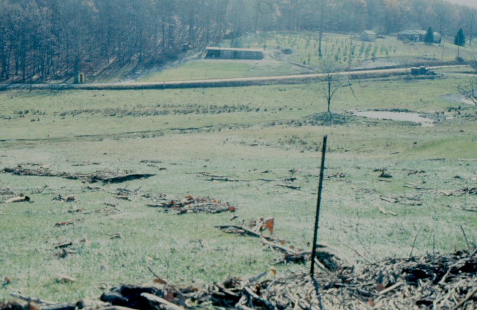
In a November 1985 news story in the Clarksburg Exponent newspaper, State Conservationist Rollin N. Swank noted that flood-control dams in the Potomac River branches and forks in the Eastern Panhandle helped “save some communities from severe flood damages, such as Maysville and Keyser,” during the historic flood of 1985.
Inundation maps for the three Lunice Creek dams show the town of Maysville directly in the inundation area, were a breach to occur at any of the three dams.
Swank said every USDA-Soil Conservation Service dam functioned as designed during the flood, and none of the dams failed, according to the Clarksburg Exponent. (The Soil Conservation Service was the predecessor to the USDA-Natural Resources Conservation Service.)
Swick lost his home during the flood of 1985. Still, he said had the Lunice Creek dams not done their job, “it would have been a lot more devastating for the folks in the Maysville area and also the Lahmansville area as well.”
(In the photos below, courtesy of NRCS's DamWatch, debris appears in the auxiliary spillway outlet and inlet of Lunice Creek No. 9 after the November flood of 1985.)

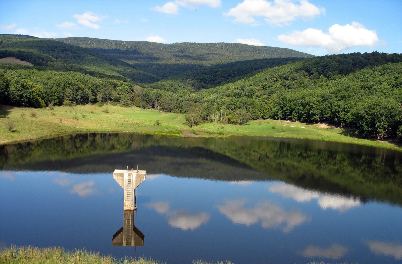
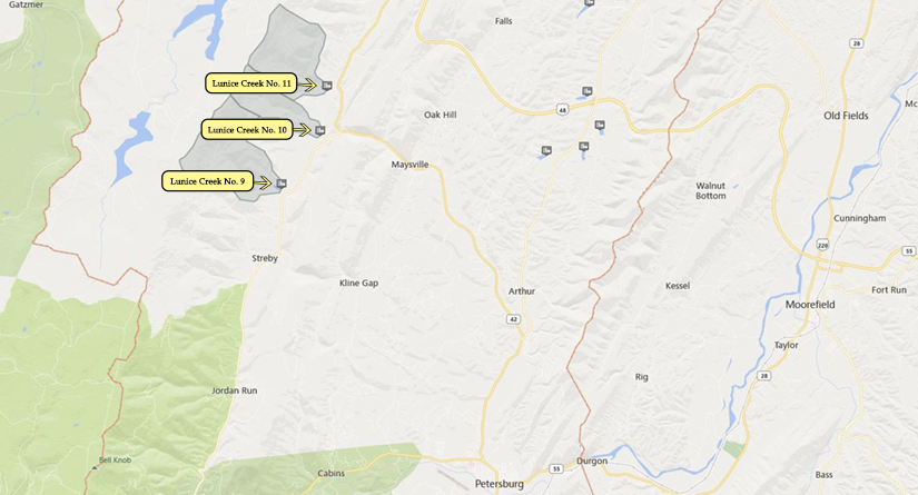
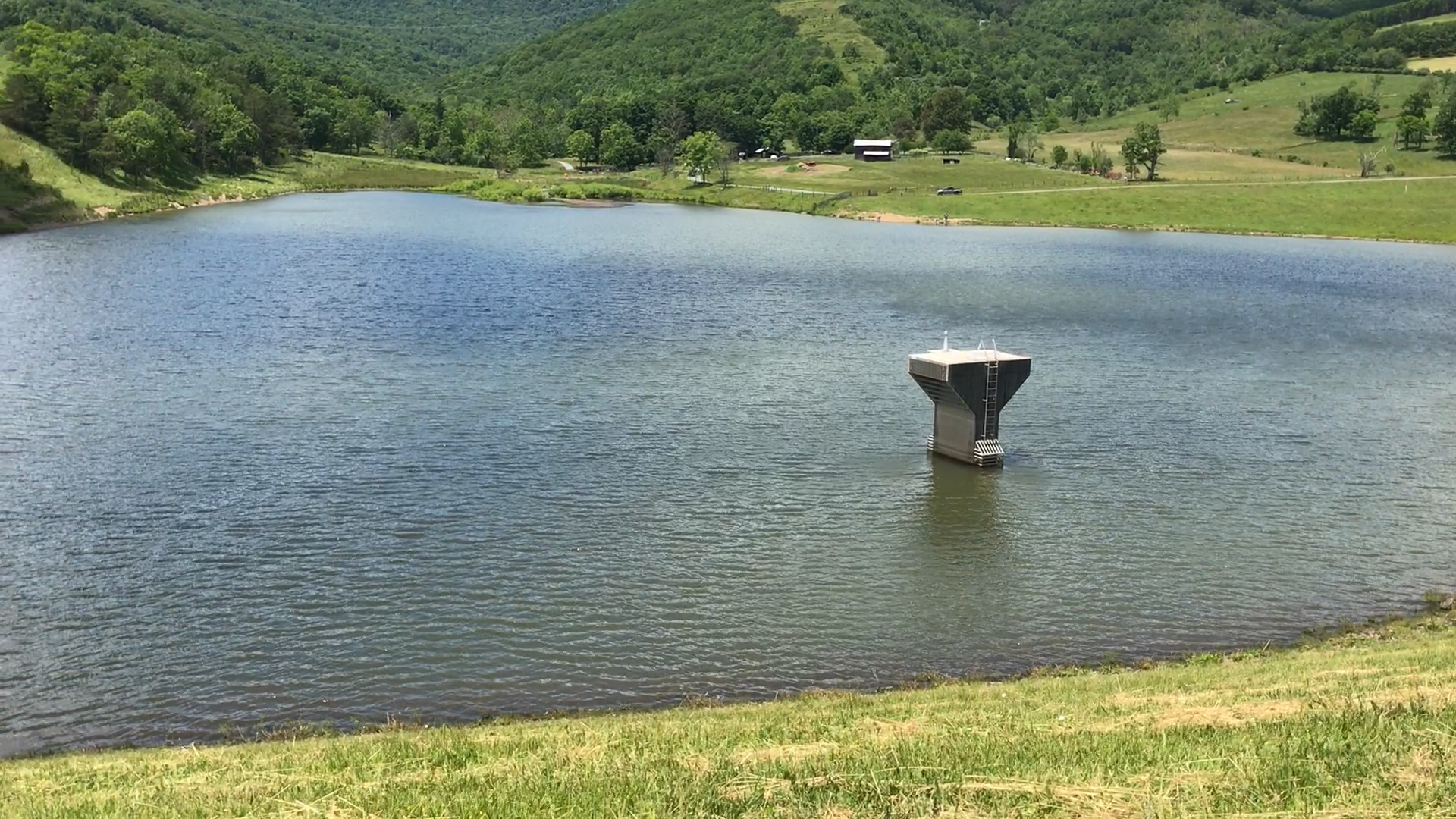
Lunice Creek No. 9
Lunice Creek Number 9 was completed in 1967 and is the eldest of the three Lunice Creek dams.
The dam is 74 feet high and is designed to impound a maximum volume of 938 acre feet of water.
The North Fork of Lunice Creek flows into the dam.
The surface area of the dam is 17 acres and the drainage area is nearly 4 square miles.
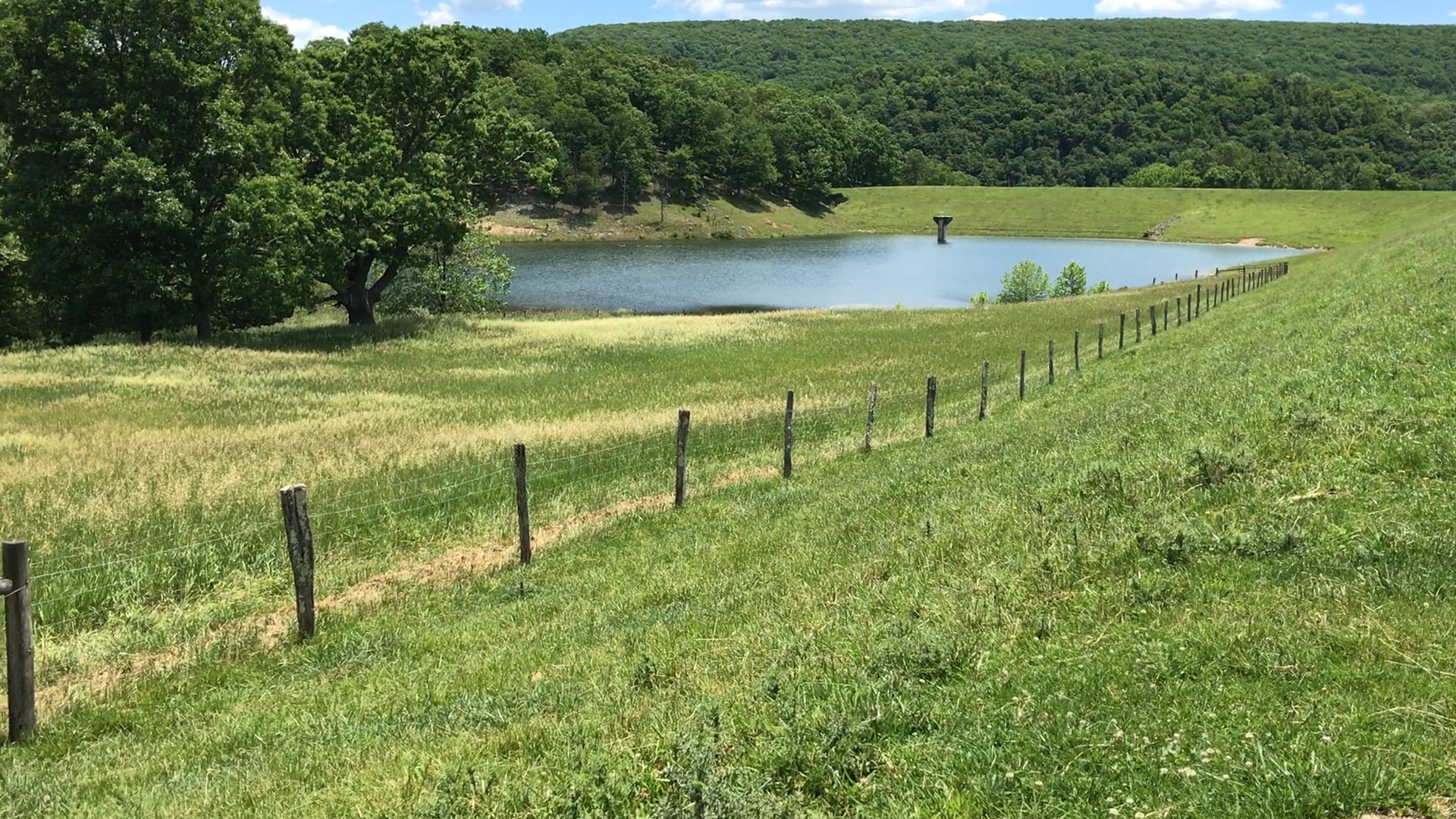
Lunice Creek No. 10
Lunice Creek Number 10 was completed in 1970 and is the youngest of the dams. It sits on Saltblock Run, a tributary of Lunice Creek.
The dam is 87 feet high and is designed to impound a maximum volume of 482 acre feet of water.
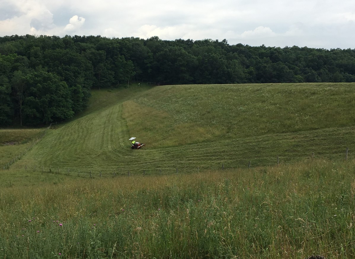
Like the other two Lunice Creek dams, Lunice Creek Number 10 is on private property, with access controlled by landowners.
The surface area of the dam is 6 acres and the drainage area upstream is more than 2 square miles.
Lunice Creek No. 11
Lunice Creek Number 11 was completed in 1968 and sits on an unnamed tributary of the North Fork of Lunice Creek.
The dam is 84 feet high and is designed to impound a maximum volume of 927 acre feet of water.
The surface area of the dam is 8 acres and the drainage area upstream is nearly 3.5 square miles.